
Loading a Shapefile into PostGIS - ogr2ogr
This task shows how to load a ShapeFile into PostGIS database:
Ensure that postgis server is running. If not, open the terminal window and start it:
(Windows)

      postgis_start.bat
Then enter the following command and press enter to load the ShapeFile into ‘shape’ database:
(Linux)
ogr2ogr -f PostgreSQL PG:"dbname='shape' host='127.0.0.1' port='5434' user='geosolutions' password='Geos'" ../data/user_data/Mainrd.shp -lco GEOMETRY_NAME=geom -lco FID=gid -lco SPATIAL_INDEX=GIST -nlt PROMOTE_TO_MULTI -nln main_roads_2 -overwrite

(Windows)
ogr2ogr -f PostgreSQL PG:"dbname='shape' host='127.0.0.1' port='5434' user='geosolutions' password='Geos'" ..\data\user_data\Mainrd.shp -lco GEOMETRY_NAME=geom -lco FID=gid -lco SPATIAL_INDEX=GIST -nlt PROMOTE_TO_MULTI -nln main_roads_2 -overwrite
Where:
- -f PostgreSQL: specifies the output format as PostgreSql table
- -lco GEOMETRY_NAME: (layer creation option) specifies the name of the geometry field
- -lco FID: (layer creation option) specifies the name of the feature identifier column to create
- -lco SPATIAL_INDEX: (layer creation option) specifies the type of spatial index (available values are: NONE/GIST/SPGIST/BRIN)
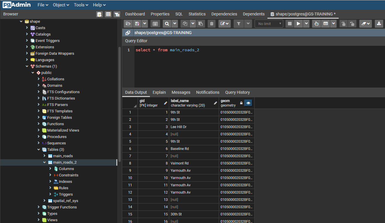
The ShapeFile will be loaded within the ‘main_roads_2’ table of the ‘shape’ database.
The following screenshot shows some of the table contents in pgAdmin.
Note
In Windows, you can run pgAdmin, executing pgAdmin.bat batch file at terminal window.
A PostGIS table by ShapeFile
In the next section we will see how to add a PostGIS layer into GeoServer.